


Storm Spotting: How To Use CLouds To Predict The Weather
Try to predict the weather for the next 12 hours always looking at clouds for signs at sunrise and sunset.
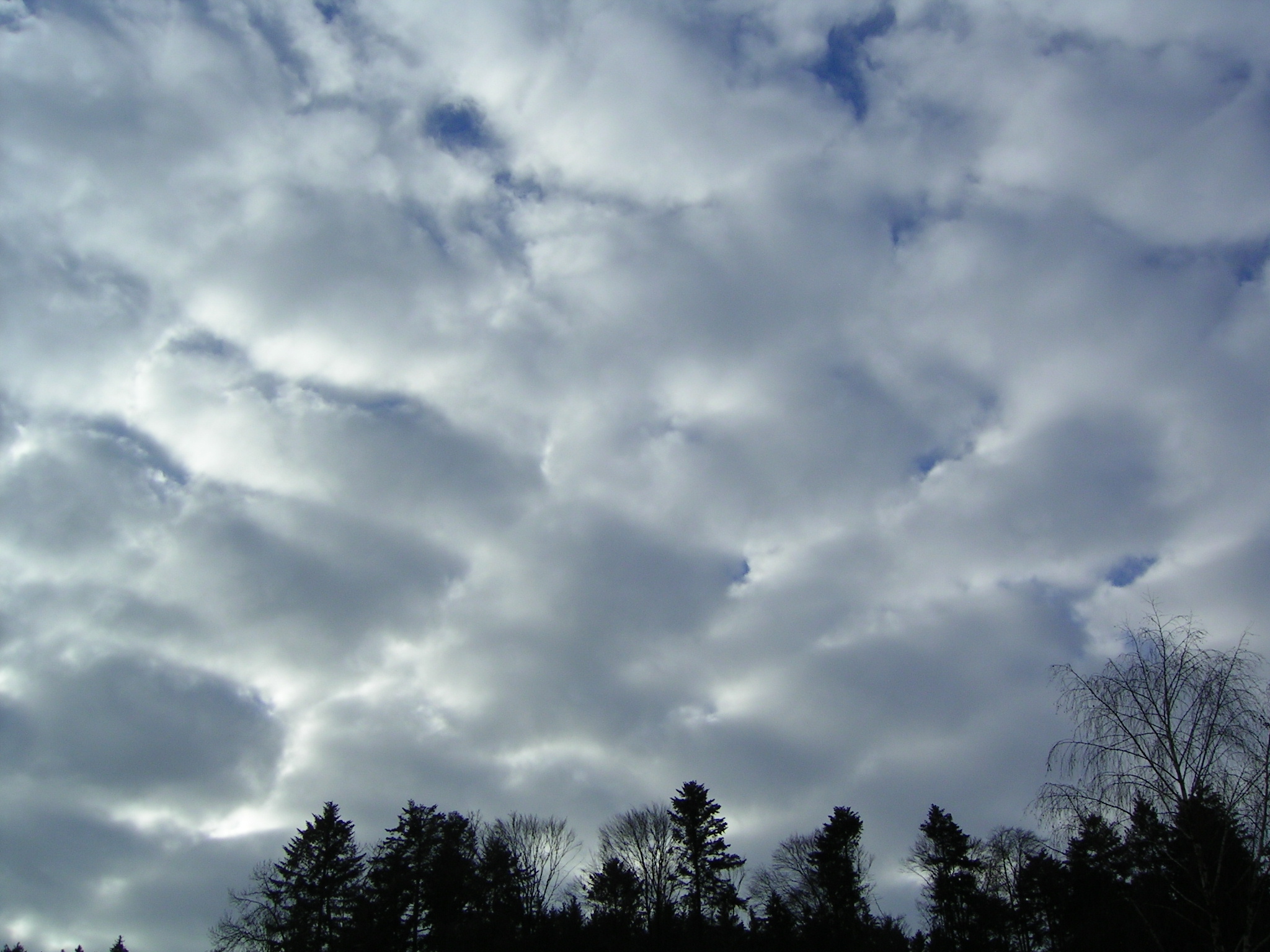
There are many different types of clouds in the Troposphere (where all weather forms). Different clouds relate to different types of weather.
- Cirrus – meaning curl (as in a lock of hair)
- Cumulus – meaning pile
- Stratus – meaning spread over an area or layer
- Nimbus - means rain-carrier
High, mid and low level are the three more common cloud categories used to predict weather.
High-level clouds
The bases of these clouds form at about 6200 metres above sea level. They are usually composed of ice crystals.
- Cirrus clouds are thin clouds spread across the sky in high winds.

A few cirrus clouds may indicate fine weather, but increasing cover indicates that a change of weather: an approaching warm front will happen within 24 hours.
These are the most abundant of all high-level clouds.
- Cirrocumulus: Described as ripples or fish scales are sometimes called "mackerel sky".

When cirrus clouds turn into cirrocumulus, a storm or hurricane may come in tropical regions.
- Cirrostratus: These clouds look like thin sheets that spread across the sky giving it a pale, translucent appearance.

They often appear 12–24 hours before a rainstorm or snowstorm.

Mid-level clouds
The bases of these clouds form at about 2000–6200 m above sea level. They are mostly made of water droplets but can contain ice crystals. The clouds look like bluish-grey sheets that cover most, if not all, the sky. They can obscure the Sun!
- Altocumulus: Are composed of water droplets and appear as layers of grey, puffy, round, small clouds.
These clouds on a warm, humid morning may indicate thunderstorms late in the afternoon.
 They´re called fair-weather clouds because they usually indicate dry conditions and if there is rain, it is light.
Low-level clouds
The bases of these clouds form at altitudes below 2000 m. They are mostly made of drops of water.
- Cumulus: The clouds can get very high and when they look like a cauliflower head they´re called "towering" cumulus.
- Cumulonimbus clouds – thunder clouds that have built up from cumulus clouds. Their bases are often quite dark. These clouds can forecast some of the most extreme weather, including heavy rain, hail, snow, thunderstorms, tornadoes and hurricanes.

- Stratus: They look like greyinsh fog in the sky. It is also called "overcast".

- Stratocumulus: Low and grey clouds, forming rows in the sky.
- Nimbostratus: Dark, thick wet looking layers that can completely block out the Sun!

Subscribe to:
Posts (Atom)